Developing databases of past sea-level and ice-sheet indicators

Felicity Williams1, N. Hallmann2 and A. Carlson3
PALSEA2 Workshop, Lochinver, Scotland, UK, 16-22 September 2014
 |
|
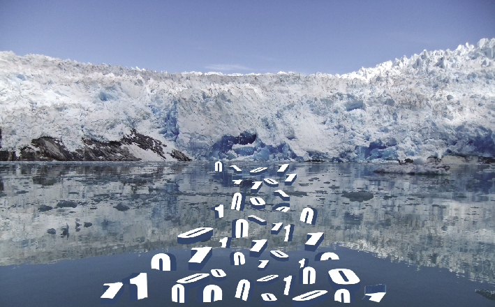
Figure 1: The systematic conversion of observation into data is a cornerstone of scientific method as suggested by the marine-terminating ice margin of Nigerdlikasik Bræ in southern Greenland. Image credit: A Carlson and F Williams. |
PALSEA2 is the second phase of work to reduce the uncertainty around past ice-sheet and sea-level variability that began with the PALSEA (PALeo constraints on SEA level rise) working group co-sponsored by PAGES and INQUA. The second meeting of PALSEA2 took place against the backdrop of northwestern Scotland’s postglacial landscape. Twenty-nine people from seven countries attended to explore, discuss, and debate the methods by which large databases of past sea level and ice-sheet extent can be developed over a range of spatial and temporal scales, from the Pliocene climatic optimum to the current interglacial period. Delegates presented on the production and analysis of composite datasets, and enjoyed extensive field discussions at sites that had contributed to present day knowledge of the British and Irish ice sheets at the Last Glacial Maximum.
Cutting edge advances at the ice-sheet scale are only possible through the compilation of large datasets, highlighting the value databases offer to the scientific community. The contribution of region-specific databases to our current understanding of the Antarctic, British and Irish, and Greenland ice sheets were explored by Peter Clark, Sarah Bradley and Anders Carlson (Carlson et al. 2014; Kuchar et al. 2012; Lecavalier et al. 2014).
Discussions throughout this workshop highlighted the need for data management plans with a global scope, and the consistent and comprehensive treatment of data. Key points of agreement included the necessity of mandating the inclusion of meta-data in order to facilitate the use of sample data across multiple scientific disciplines and that the template should attempt to future-proof data to meet the demands of future analyses. The finalised protocol should also ensure the continuation of valuable conversations between the primary producers and users of the data and subsequent researchers.
Complementary approaches to structuring databases were presented. André Düsterhus outlined a thematic structure comprising the value, measures of uncertainty, associated expert knowledge, and commentary, whilst Marc Hijma presented an existing and highly detailed protocol for a post glacial database of sea level indicators (Hijma et al. in press).
Bridging the gap between geological and instrumental records, the Late Holocene is a prime target for reconstructing regional patterns of sea level change, which provide constraints on volume and extent of the different ice sheets at the Last Glacial Maximum through knowledge of glacial isostatic adjustment. Ben Horton outlined the applicability of low-energy environments such as US Atlantic Coast salt marshes in meeting the exact demands placed on temporal and vertical resolution of sea level through this time. Glenn Milne highlighted why regional perspectives remain vital to improve projections of relative sea level in areas with a large glacial isostatic adjustment signal. Roland Gehrels presented a paleo-perspective on the sea-level hotspot work of Sallenger et al. (2012), indicating that specific wind conditions can drive significant variability between nearby sites (Andres et al. 2013). Presentations from Andrea Dutton and Fiona Hibbert reminded the community not to underestimate the complexity of fossil sea-level indicators. Coral species-specific effects and the changing chemical composition of seawater on glacial timescales provide traps for the unwary.
The use of databases, and the application of statistical techniques to large data sets, is already providing us with exciting steps forward (Briggs and Tarasov 2013). The workshop clarified the desire to improve standardisation and transparency in the treatment of uncertainty, so that our uncertainty models are more representative of the level of variation found in reality. All of us involved in the generation of data, from field observations through to models, share a responsibility to ensure that our work is as transparent as possible, and communicated via publication vehicles that recognise and support the diverse needs to which database content may be directed. Production of a best practice document and working protocol for collating sea-level and ice-sheet indicators is anticipated for early 2015.
PALSEA2 websites
http://pastglobalchanges.org/science/wg/palsea/intro
http://people.oregonstate.edu/~carlsand/PALSEA2/Home.html
affiliations
1Ocean and Earth Science, University of Southampton, UK
2Aix-Marseille Université, CNRS, IRD, CEREGE UMR, Aix-en-Provence, France
3College of Earth, Ocean, and Atmospheric Sciences, Oregon State University, Corvallis, USA
contact
Anders Carlson: acarlson coas.oregonstate.edu
references
Andres M et al. (2013) Geophys Res Lett 40: 5915-5919
Briggs RD, Tarasov L (2013) Quat Sci Rev 63: 109-127
Carlson AE et al. (2014) Geophys Res Lett 14: 5514-5521
Kuchar J et al. (2012) J Quat Sci 27: 597-605